Stratigraphy
The GEO5 Stratigraphy program is designed to process results from site investigation (boreholes, wells, CPTs, DPTs, SPTs, DMTs ...), generate 2D or 3D geological models, and export cross sections and geological profiles into other GEO5 programs.
Available extension modules: the Logs module for geological data reporting from site investigation, the Cross Sections module for creation of geological cross sections, and the Earthworks module for modeling of earthworks and calculation of earthwork volumes.
Features
-
Assessment of site investigation results – boreholes, wells and field tests:
-
CPT - Cone penetration test
-
DPT - Dynamic penetration test
-
SPT - Standard penetration test
-
DMT - Dilatometer test
-
PMT - Pressuremeter test
-
-
Import of geological maps and site investigation data
-
Interpretation of field tests into geological profiles
-
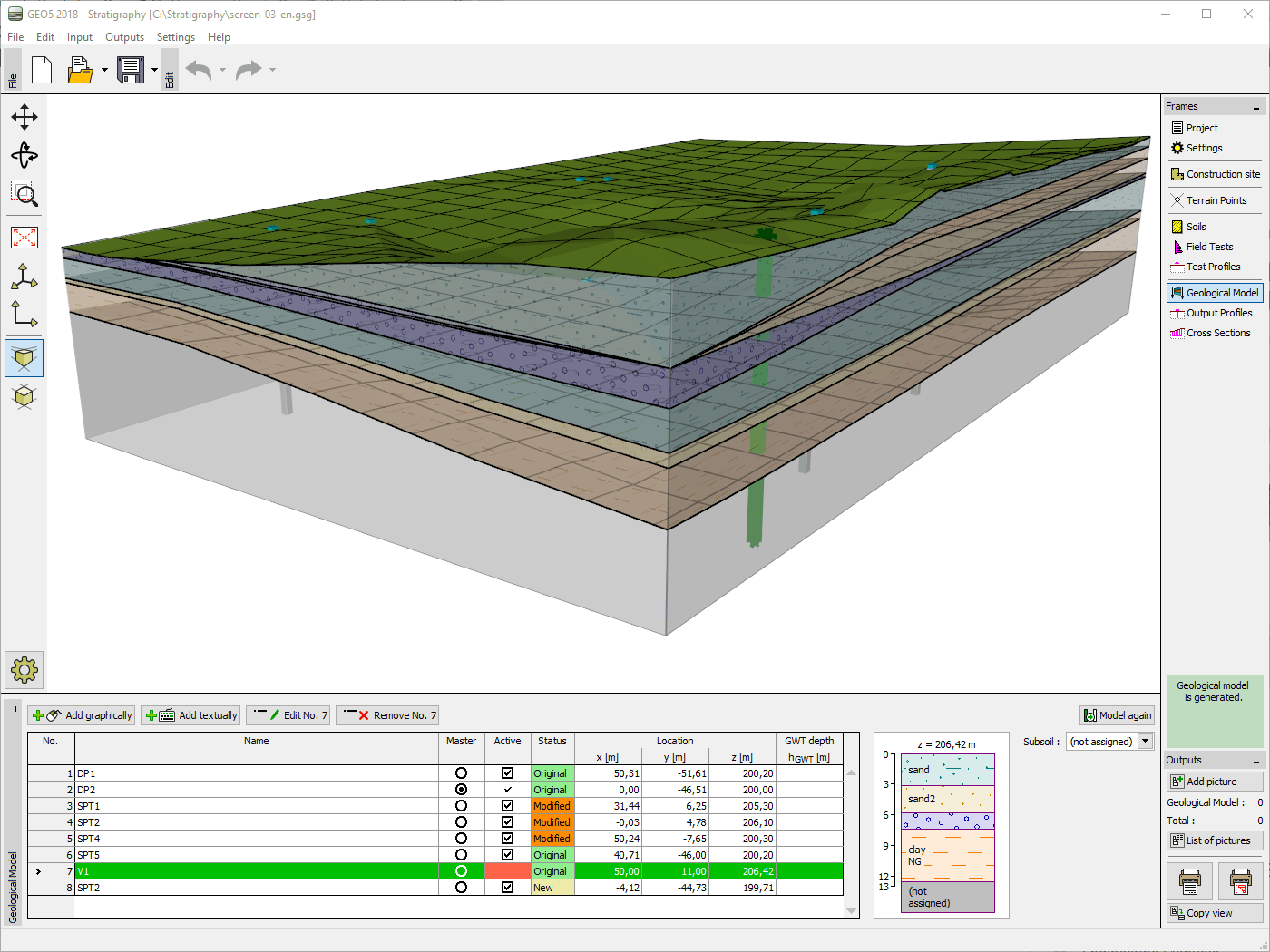
Creation of 3D and 2D subsoil models from soil profiles
-
Generation of very complex geological models (horizontal or inclined layers, faults, erosion, lenses, landslides)
-
Optimization supporting very large models
-
Input of GPS coordinates with a direct connection to Google Maps
-
Import of field test formats including AGS, TXT, UNI, CPT, GEF… and more
-
Export to both IFC and LandXML BIM formats
-
Export to selected GEO5 programs and CAD programs
-
Professional site investigation reports with the Stratigraphy - Logs module
-
Creation of geological fences in the Stratigraphy - Cross Sections module
Software Requirements
-
Microsoft Windows 10.
-
Display resolution 1024×768 pixels.
-
Graphics adapter supporting OpenGL 3.3.
-
USB 2.0 port (except Demo versions and Software Keys)
-
See the recommended system requirements